IEGIS
Cart 0
 

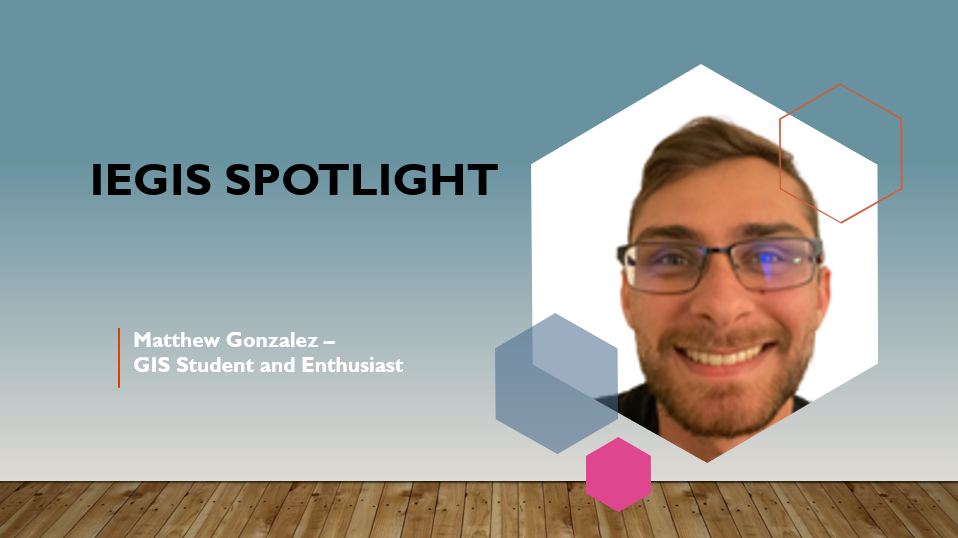
Matthew Gonzalez


Hi, my name is Matthew, and I’m a GIS enthusiast from Menifee, CA. I have interests in data science, computer science, and environmental science alongside GIS. Through the lens of GIS, I have been able to grow in each of these fields and build on my foundation of knowledge.

Q. When did your fist discover GIS?

A. I first discovered GIS during my undergraduate studies at UC San Diego. I took an introductory class and was instantly intrigued. After getting my B.S. degree, I have continued to pursue this field, both personally and professionally. My current schooling at MSJC has given me a greater appreciation for the various uses and applications possible through GIS.

Q. What inspired you to study GIS?

A. When I took my first GIS class, I was already studying geology, and had some experience reading and studying maps. For subjects like geophysics or structural geology, maps made learning tough concepts much more accessible. That gave me my initial appreciation for the importance of GIS to adjacent fields. From that point on, my classes and work experience in this field have continued to impassion me on learning and doing more with this technology.

Q. What has been a GIS highlight on your educational path?

A. During my internship with the nonprofit Tree San Diego, I created a Community Impact Report to assess the ability of the organization to provide trees for underserved communities. By using spatial data I personally collected, I was able to conclude that they were accomplishing this goal. Going through the data collection process and finding real answers was extremely rewarding, and only possible through the use of GIS software. (I’ve posted this and other projects on my website: https://4mmgonzal.github.io/ )

Q. Do you have a professor/mentor that has inspired you down a specific path in GIS?

A. Yes. My current professor, Emina Sulych, has been amazing in both seeing potential in me and providing opportunities for me to look into regarding GIS. Given my past academic interests in data science, she has steered me towards opportunities that suite my strengths.

Q. What do you envision your GIS career looking like?

A. I am motivated by interpretation and analyzation of spatial data to solve real-world issues. As such, positions like GIS Analyst or Specialist intrigue me. With my background, I would love to work in either Environmental or Municipal sectors. Serving my community and the future would bring me great pride.

Q. What is something you have enjoyed as being part of the IEGIS User Group?

A. Having a local community to share my interest in GIS makes me feel closer to the field. a support system is pivotal to the success of this or any industry. As a platform, the organization gives me insight into what my peers are creating, as well as employment opportunities.


Marcia Carrillo Ph.D; GISP


Marcia CarRillo

Marcia Carrillo Ph.D.,  GISP, is the VP of Tech Services at Psomas, a full services AEC firm that has office throughout the Western US. Prior to working at Psomas Marcia worked as Esri as a senior PM  in Utilities and Southern California Edison as a Senior Technical Specialist in GIS enterprise implementation. Marcia has worked on large GIS projects such as TRTP Transmission project, West Mojave GIS Mapping and Owens Lake Dust Mitigation Project.

Q: When did your fist discover GIS? Did you have any mentors, classes, colleagues, or professors that inspired you along the way?

A: I discovered GIS at the USDA Salinity lab on the UC Riverside campus. I was working in a Post Doc position on mapping salinity and pesticide concentrations across large farming land. I got “bit” by the GIS bug and never looked back. My first big GIS project was the Owens Lake Dust Mitigation project. It was the wild west days of GIS and GPS which allowed me to explore all of the wonderful aspects of both technologies. I learned GIS mostly on my own, my best mentor was Ed Riegelmann, a GIS Senior Consultant who developed USAF GeoBase programs. He really instilled in me the how important it was to understand how GIS works at the big picture level.

Q: What got your career in GIS started?

A: It was working at CH2M Hill that got my career going in GIS. It was at the time of the transition from the desktop application  (ArcInfo 7), to ArcView; and a move to place GIS in the field to collect data. The value of data was just starting to get noticed by large organizations and I was able to really excel my career using data and GIS together to answer questions and show relationships that otherwise were not obvious.

Q: As a VP of Tech Services what does a typical workday look like for you?

A: The GIS team works on various projects such as developing strategic plans, web applications, databases, spatial analyst approaches, etc. I spend most of my time collaborating with my team members to ensure projects are moving along and helping them resolve any issues. My day can be building Ops Dashboards, responding to client questions, and developing scopes of work for various projects.

Q: What GIS project are you most proud of?

A: The project that stands out is the BLM WEMO project. The high-level summary of the project is that the BLM was reviewing OHV impact on the desert tortoise habitat in the West Mojave. Part of this was to map both double, and single-track roads, as well as any recreational sites that were used by the public on BLM land. What makes this project the standout is that we had to collaborate with  diverse stakeholders. I taught a group of 15 OHV stakeholders how to use GPS to map roads and quick marks. Over the course of a year we mapped over seven thousand miles of roads and collected over forty thousand quick marks. The data is still in use today which makes me proud of the work we did 15 years ago.

Q: What has been most valuable to you in the GIS sector to learn modern technology or advance your career to the next level?

A: Both are important, to advance my career I had to, and continue to, learn innovative technology to stay current and relevant in the field. Some aspects of my advancement to VP have been about strategic thinking, operations, and people performance. But I would not be an effective VP without staying up to date on modern technology. Also, technology is advancing at a higher rate than ever before, and with AI coming on to the scene, it is more important than ever to stay up to date.

Q: What is something you have enjoyed as being part of the IEGIS User Group?

A: I love hearing about what each member is doing with GIS, how they use the technology, and how GIS has changed the way they do business and the insights they have.

Owens Lake Dust Mitigation

West Mojave Route Network Project


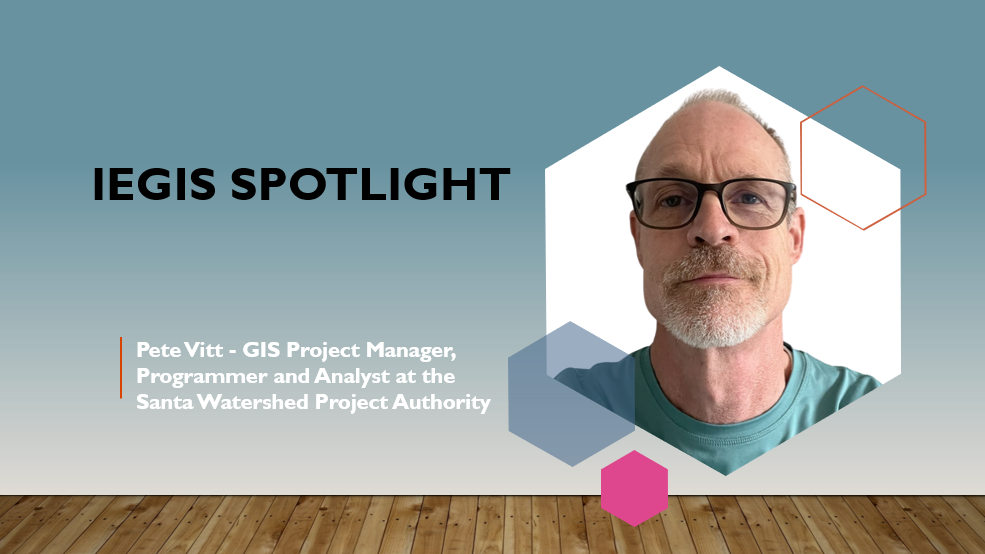
Pete Vitt


Pete Vitt

Pete Vitt has been a GIS Project Manager, Programmer and Analyst at the Santa Watershed Project Authority (SAWPA) in Riverside for over 25 years. Before arriving at SAWPA he worked in the environmental consulting industry doing environmental site investigations and assessments. He graduated from the University of California Riverside with a degree in Environmental Science.

His current employer, SAWPA, is a regional water agency that focuses on a broad range of water resource issues within the Santa Ana River Watershed including water supply reliability, water quality improvement, recycled water, wastewater treatment, groundwater management, brine disposal, and integrated regional planning. SAWPA also works to restore the environment of the Santa Ana River Watershed.

Q: When did your fist discover GIS? Did you have any mentors, classes, colleagues, or professors that inspired you along the way?

A: I discovered GIS early in my career while working for an environmental consulting firm in the early 1990’s. We had a project at the recently closed Norton Air Force Base surveying background radiation in near surface soil. It was kind of a fun job (for a while) in that I got to drive an ATV equipped with a gps and radiation sensor back and forth across the base while the readings were downloaded to a base station. There were millions of readings to process and somehow make sense of and display. The only software that could handle all that spatial data was GIS. I learned GIS working on that project as well as by taking courses at UCR extension. I found I enjoyed working with GIS more than other things I was doing at my environmental job, so I looked for ways that GIS software could be applied to other projects at work. Within a few years I made the switch to a full time GIS Analyst and got my current job here at SAWPA.

Q: As a GIS Analyst and Programmer what does a typical workday look like for you?

A: There are a lot of different projects I work on to support our Planning and Engineering Departments. On any given day I’m working on one or more of these projects. I could be configuring maps, dashboards or a field map on AGOL, doing some programming to enhance an existing application like our brine line facilities management tools, or maybe making a map in ArcGIS Pro. We are a small agency, so I’ll also work in areas outside of GIS. I‘ve worked on applications to generate billing reports for brine line customers, an agency employment application on our website, and an online project submission form for water agencies to apply for grant funding for water projects. I’ll also help with data collection and generating figures for reports.

Q: What GIS project are you most proud of?

A: I developed a web mapping application using the ESRI JavaScript api to allow field operations staff to record facility inspections, repairs, marking of Dig Alert Tickets, and to view as-built and easement documents. The application has made it much easier for field staff to document their activities, and information is easily searched and displayed so Engineering can keep track of work that has been completed and to identify and plan for new work that needs to be done.

Q: What has been most valuable to you in the GIS sector to learn modern technology or advance your career to the next level?

A: I’ve learned a lot going to GIS Conferences and taking technology courses at UCR and UCI extensions. I’ve also found on-line ESRI documentation and technical support forums like the ESRI Community and Stack Exchange to be very helpful in learning new things and solving technical problems I couldn’t solve on my own.

Q: What is something you have enjoyed as being part of the IEGIS User Group?

A: It’s always fun and interesting to see the projects others are working on and the GIS software they use to accomplish their goals. It also gives me ideas on how to do my own job better.