Pete Vitt
Pete Vitt
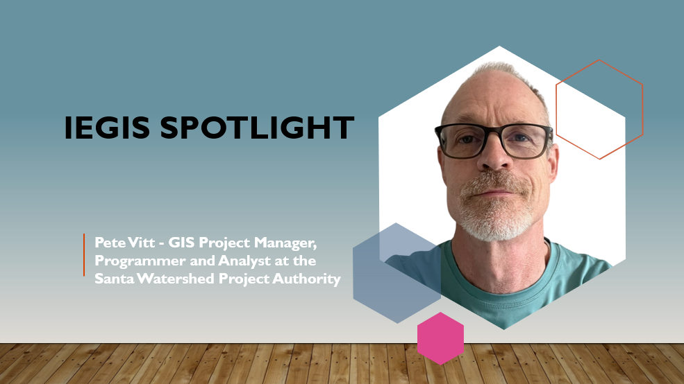
Pete Vitt has been a GIS Project Manager, Programmer and Analyst at the Santa Watershed Project Authority (SAWPA) in Riverside for over 25 years. Before arriving at SAWPA he worked in the environmental consulting industry doing environmental site investigations and assessments. He graduated from the University of California Riverside with a degree in Environmental Science.
His current employer, SAWPA, is a regional water agency that focuses on a broad range of water resource issues within the Santa Ana River Watershed including water supply reliability, water quality improvement, recycled water, wastewater treatment, groundwater management, brine disposal, and integrated regional planning. SAWPA also works to restore the environment of the Santa Ana River Watershed.
Q: When did you first discover GIS? Did you have any mentors, classes, colleagues, or professors that inspired you along the way?
A: I discovered GIS early in my career while working for an environmental consulting firm in the early 1990’s. We had a project at the recently closed Norton Air Force Base surveying background radiation in near surface soil. It was kind of a fun job (for a while) in that I got to drive an ATV equipped with a gps and radiation sensor back and forth across the base while the readings were downloaded to a base station. There were millions of readings to process and somehow make sense of and display. The only software that could handle all that spatial data was GIS. I learned GIS working on that project as well as by taking courses at UCR extension. I found I enjoyed working with GIS more than other things I was doing at my environmental job, so I looked for ways that GIS software could be applied to other projects at work. Within a few years I made the switch to a full time GIS Analyst and got my current job here at SAWPA.
Q: As a GIS Analyst and Programmer what does a typical workday look like for you?
A: There are a lot of different projects I work on to support our Planning and Engineering Departments. On any given day I’m working on one or more of these projects. I could be configuring maps, dashboards or a field map on AGOL, doing some programming to enhance an existing application like our brine line facilities management tools, or maybe making a map in ArcGIS Pro. We are a small agency, so I’ll also work in areas outside of GIS. I‘ve worked on applications to generate billing reports for brine line customers, an agency employment application on our website, and an online project submission form for water agencies to apply for grant funding for water projects. I’ll also help with data collection and generating figures for reports.
Q: What GIS project are you most proud of?
A: I developed a web mapping application using the ESRI JavaScript api to allow field operations staff to record facility inspections, repairs, marking of Dig Alert Tickets, and to view as-built and easement documents. The application has made it much easier for field staff to document their activities, and information is easily searched and displayed so Engineering can keep track of work that has been completed and to identify and plan for new work that needs to be done.


Q: What has been most valuable to you in the GIS sector to learn modern technology or advance your career to the next level?
A: I’ve learned a lot going to GIS Conferences and taking technology courses at UCR and UCI extensions. I’ve also found on-line ESRI documentation and technical support forums like the ESRI Community and Stack Exchange to be very helpful in learning new things and solving technical problems I couldn’t solve on my own.
Q: What is something you have enjoyed as being part of the IEGIS User Group?
A: It’s always fun and interesting to see the projects others are working on and the GIS software they use to accomplish their goals. It also gives me ideas on how to do my own job better.